
ไฟล์:明石海峡大橋 - panoramio (1).jpg

ขนาดของตัวอย่างนี้: 800 × 533 พิกเซล ความละเอียดอื่น: 320 × 213 พิกเซล | 640 × 427 พิกเซล | 1,024 × 683 พิกเซล | 1,280 × 853 พิกเซล | 2,640 × 1,760 พิกเซล
ดูภาพที่มีความละเอียดสูงกว่า (2,640 × 1,760 พิกเซล, ขนาดไฟล์: 3.43 เมกะไบต์, ชนิดไมม์: image/jpeg)
| รูปภาพหรือไฟล์เสียงนี้ ต้นฉบับอยู่ที่ คอมมอนส์ รายละเอียดด้านล่าง เป็นข้อความที่แสดงผลจาก ไฟล์ต้นฉบับในคอมมอนส์
|
ความย่อ
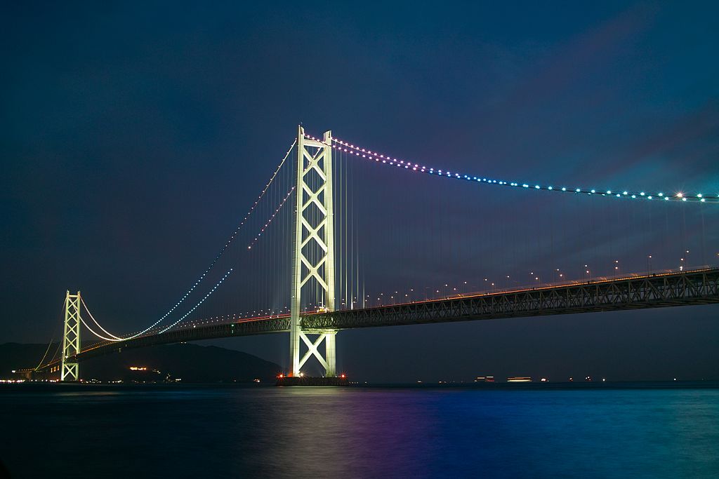
| คำอธิบาย | 明石海峡大橋 | |||||
| วันที่ | Taken on 24 มิถุนายน พ.ศ. 2553 | |||||
| แหล่งที่มา | https://web.archive.org/web/20161022040607/http://www.panoramio.com/photo/51502327 | |||||
| ผู้สร้างสรรค์ | clear_and_sunny | |||||
| การอนุญาต (การใช้ไฟล์นี้ใหม่) |
ไฟล์นี้อยู่ภายใต้สัญญาอนุญาตครีเอทีฟคอมมอนส์ รุ่น แสดงที่มา 3.0 ต้นฉบับ การแสดงที่มา: clear_and_sunny
|
|||||
| เวอร์ชันอื่น | ||||||
| Tags (from Panoramio photo page) | Tarumi-ku, DP2, night |


_(cropped).jpg)
.jpg)
| ตำแหน่งของวัตถุหรือสถานที่ | | ภาพนี้และภาพอื่น ๆ ณ สถานที่เดียวกันที่ OpenStreetMap |
|---|
.jpg¶ms=034.616200_N_0135.020500_E_globe:Earth_class:object_type:object__&language=th)
| ตำแหน่งที่ตั้งกล้อง | | ภาพนี้และภาพอื่น ๆ ณ สถานที่เดียวกันที่ OpenStreetMap |
|---|
.jpg¶ms=034.629332_N_0135.037047_E_globe:Earth_type:camera_source:Panoramio_&language=th)
ประวัติไฟล์
คลิกวันที่/เวลาเพื่อดูไฟล์ที่ปรากฏในขณะนั้น
| วันที่/เวลา | รูปย่อ | ขนาด | ผู้ใช้ | ความเห็น | |
|---|---|---|---|---|---|
| ปัจจุบัน | 21:34, 20 พฤศจิกายน 2559 | | 2,640 × 1,760 (3.43 เมกะไบต์) | Panoramio upload bot | == {{int:filedesc}} == {{Information |description=明石海峡大橋 |date={{Taken on|2010-06-24}} |source=http://www.panoramio.com/photo/51502327 |author=[http://www.panoramio.com/user/2651412?with_photo_id=51502327 clear_and_sunny] |permission={{cc-b... |
หน้าที่มีภาพนี้
หน้าต่อไปนี้ โยงมาที่ภาพนี้:
การใช้ไฟล์ข้ามโครงการ
วิกิอื่นต่อไปนี้ใช้ไฟล์นี้:
- การใช้บน ca.wikipedia.org
- การใช้บน eu.wikipedia.org
- การใช้บน ga.wikipedia.org
- การใช้บน ja.wikipedia.org
- การใช้บน ko.wikipedia.org
- การใช้บน my.wikipedia.org
- การใช้บน uk.wikipedia.org
- การใช้บน www.wikidata.org
.jpg)